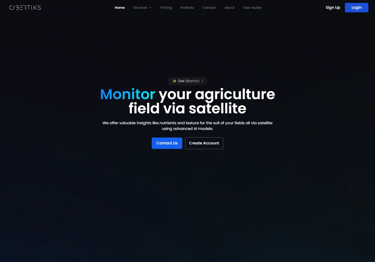
Cybertiks: AI-Powered Satellite Imagery for Agriculture
Cybertiks harnesses the power of satellite imagery and advanced AI to provide valuable insights into agricultural fields. We offer detailed analysis of soil nutrients, texture, and other key metrics, empowering farmers to optimize yields and improve efficiency.
Key Features
- Remote Field Monitoring: Analyze any field globally using satellite data.
- Historical Insights: Access historical metrics from the satellite's archive.
- AI-Driven Analysis: Our AI models provide accurate (80%+ accuracy) analysis of soil properties.
- Regular Updates: Receive updated analysis results every 7 days.
- User-Friendly Interface: View results on an interactive map with high resolution (up to 100m2).
How it Works
- Create New Fields: Enter your field's coordinates by drawing its outline on our platform.
- View Historical Insights: Explore historical data for your field.
- Monitor Field Status: Track changes and receive regular updates.
- View and Visualize Results: Analyze your results on a detailed map.
Our Technology
Cybertiks utilizes a combination of cutting-edge technologies:
- Satellite Imagery: We leverage high-resolution satellite data for comprehensive field analysis.
- AI Models: Our proprietary AI algorithms are trained on thousands of fields, ensuring accuracy and reliability.
- Data Integration: We integrate data from various sensors (optical, radar, etc.) for a holistic view.
- Data Visualization: We present data in a clear, user-friendly format.
Our Commitment
Cybertiks is committed to providing accurate, reliable, and insightful data to help farmers make informed decisions. We use verified validations from industrial organizations and continuously improve our AI models to ensure the highest level of accuracy.
Contact Us
Ready to revolutionize your farming practices? Contact us today to learn more about how Cybertiks can help you get the most out of your fields.